Hiking in the Yuba Watershed
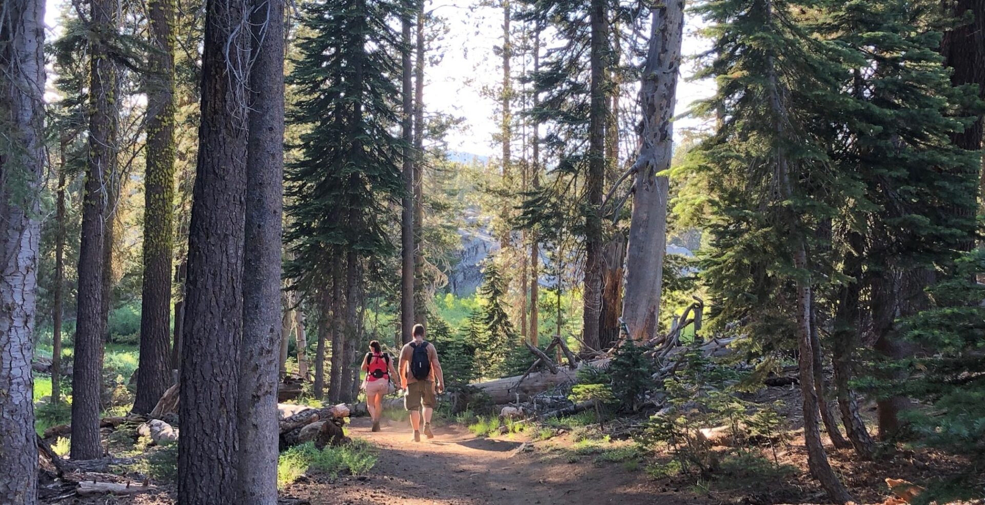
Looking to get out and explore the Yuba watershed? We put together a list of local hiking destinations in our watershed. Each of these locations are between a 20- and 40-minute drive from Nevada City. We hope you have a chance to enjoy nature and explore a new destination in our watershed.
South Yuba State Park at Bridgeport
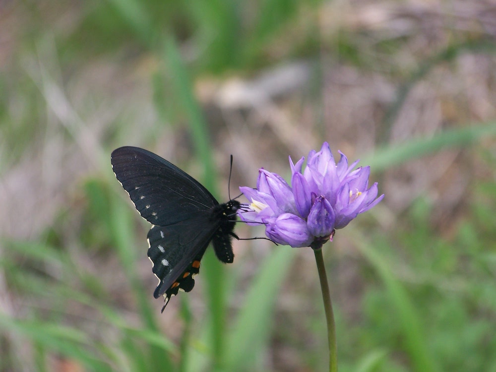
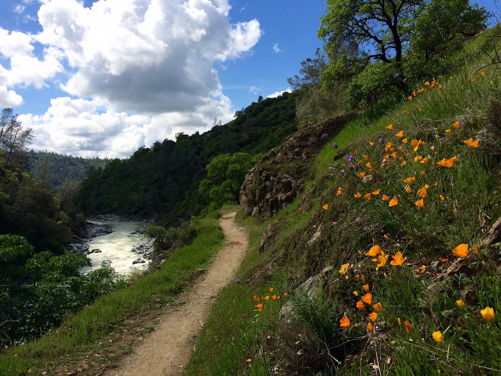
Bridgeport Crossing is probably the most popular location for river goers and those searching for great wildflower viewing. The Buttermilk Trail can be crowded, so we recommend going at off-times.
Black Swan Trail
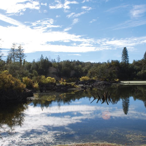
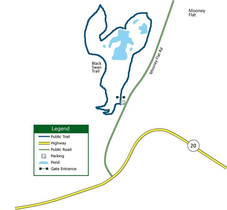
The Black Swan trailhead is located off of Mooney Flat Road in Smartsville and maintained by the Bear Yuba Land Trust. This beautiful two-mile loop trail is great for wildflower viewing as well as birdwatching. Hikers will catch a beautiful glimpse of Black Swan Lake from above.
Fairy Falls
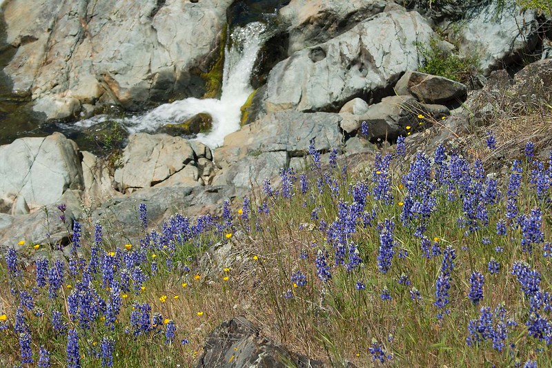
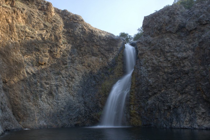
Fairy Falls Trail is a five mile loop that starts at an old mine and leads hikers through varied terrain before arriving at Beale/Shingle Falls, a stunning 100-foot waterfall.
Bear River Campground
Bear River Campground is an ideal hiking spot. While the full parking lot may give the impression that this place is crowded, the 1.5-mile trail to the day-use area is a wide service road, which can offer plenty of space between hikers.
Tahoe National Forest
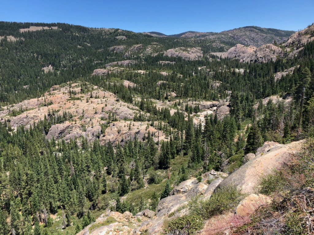
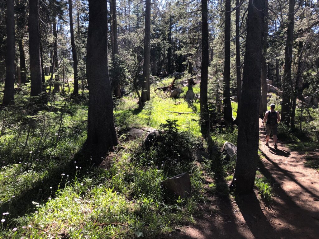
This adventure will take a bit more time in the car (about 1.25 hours). If you head up Highway 20, just past Harmony Ridge, you’ll enter the Tahoe National Forest (TNF). Look for the Rock Creek Nature Study Area or other pullouts on TNF land that exist all the way to Conservation Camp Road. There’s plenty of flat space to stretch your legs and find solitude in the forest. Be mindful of staying on TNF land and respecting private property.
Highway 49 from Nevada City to Sierra City
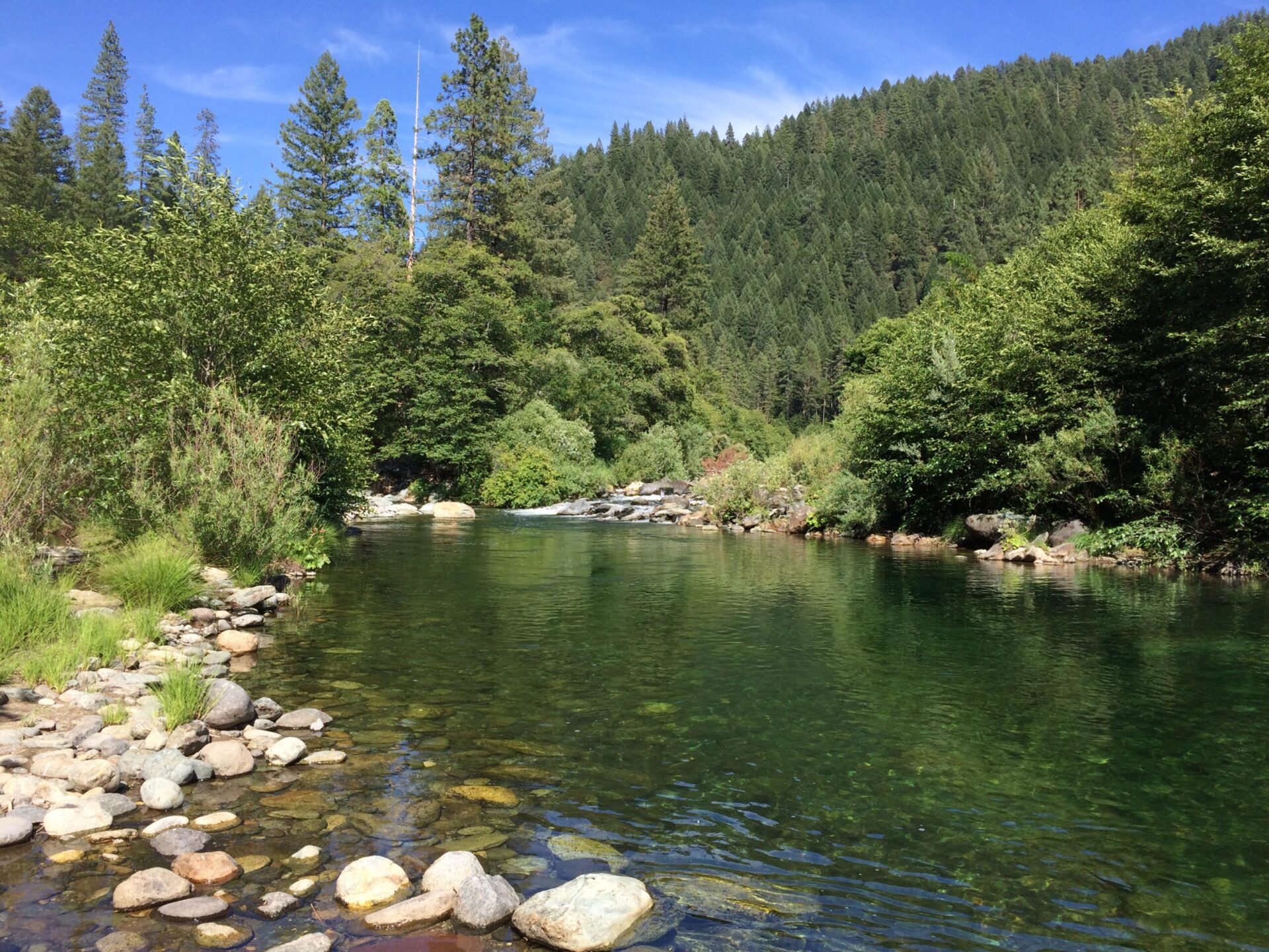
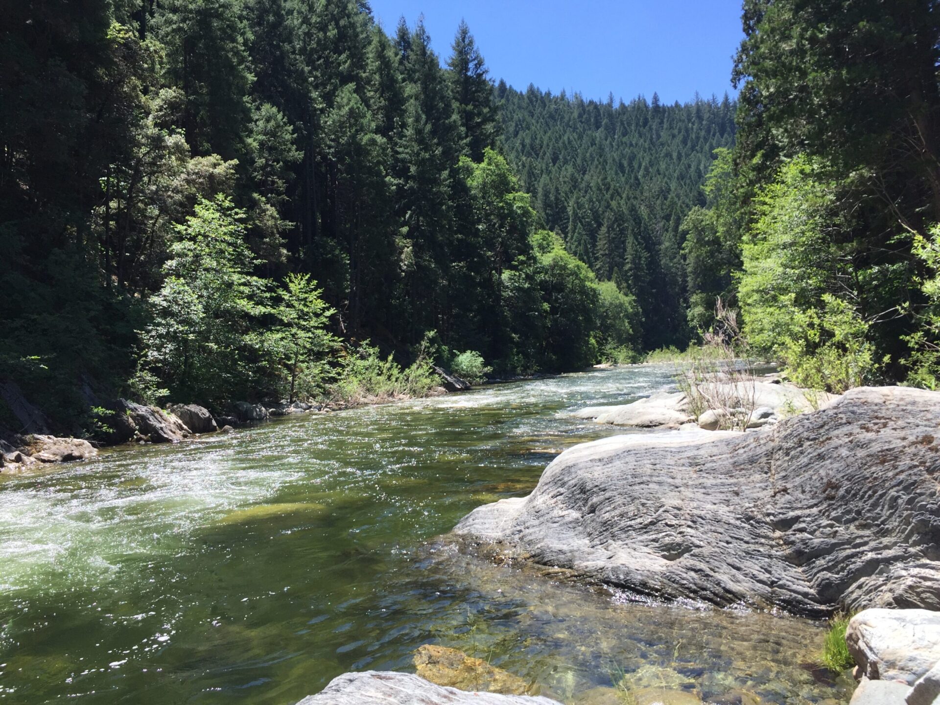
Heading toward Sierra City on Highway 49, you will cross the south fork of the Yuba and the middle fork at Oregon Creek. As Highway 49 catches up to the north fork of the Yuba River, you’ll find plenty of small parks and pull-offs along the highway with breathtaking views of the river canyon where you will likely not run into crowds of people.
Sycamore Ranch & Hammon Grove Park – Lower Yuba
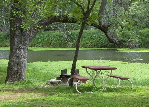
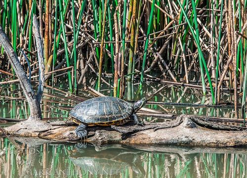
Images: Mark Anthony
Head down the hill and visit the lower Yuba River at these two quiet little riverside parks. Sycamore Ranch and Hammon Bar Park are both located 20 miles from Grass Valley and offer a great place to take a stroll by the river and catch a glimpse of river otters playing in the grass or turtles sunning on a log.
Explore New Trails
With three Yuba tributaries and 1,500 square miles in our watershed there is plenty to do and see. Check out these resources to find new trails near you.
Did you enjoy this post?
Get new SYRCL articles delivered to your inbox by subscribing to our ENews.
