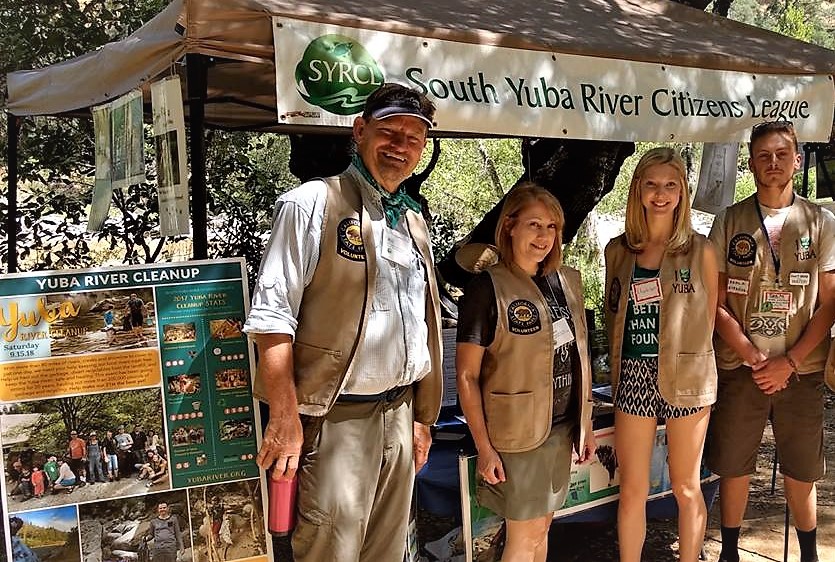
SYRCL Volunteers Complete 17th Year of River Monitoring
SYRCL Volunteers Complete 17th Year of River Monitoring
This November marks the completion of SYRCL’s 17th year of citizen science river monitoring! The River Monitoring Program has been in effect since 2000 and has brought together nearly 400 community members to be stewards of the Yuba watershed.
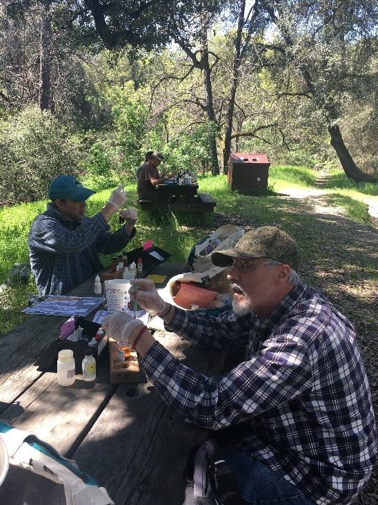
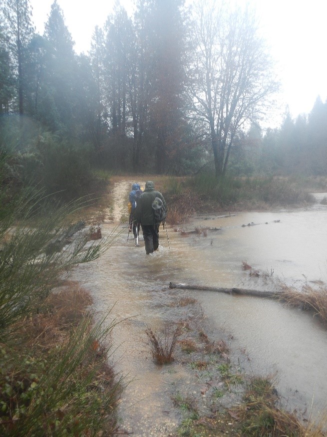
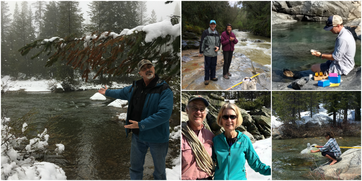
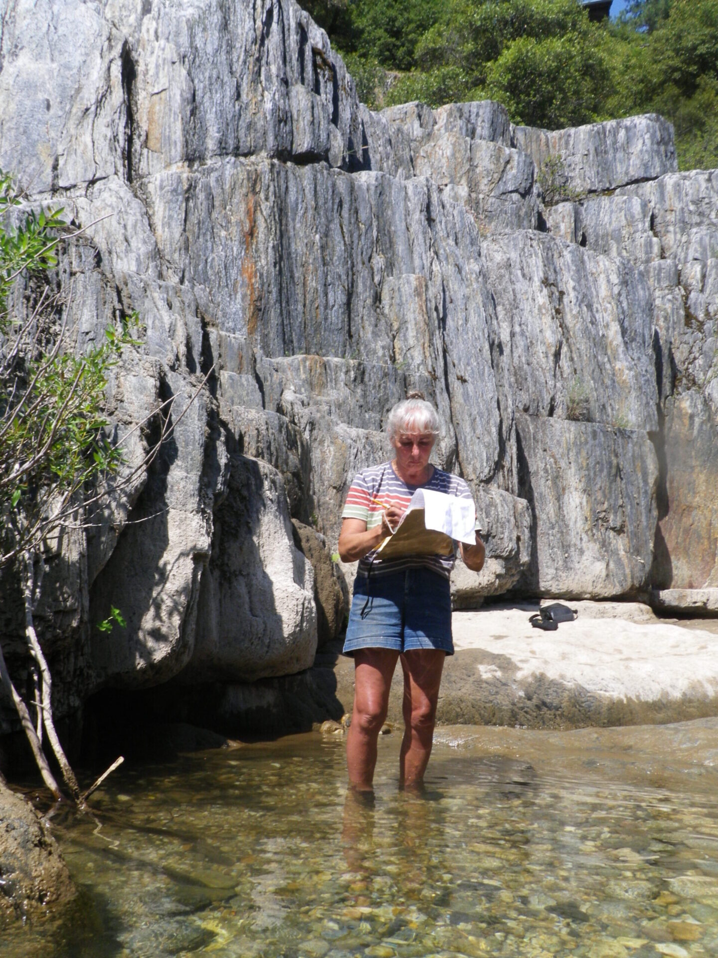
Each spring, volunteers are trained to collect scientifically credible data for water quality parameters such as water temperature, dissolved oxygen, pH, turbidity, conductivity and the presence of invasive and sensitive species for locations throughout the Yuba watershed. Thanks to the help of our diligent volunteers, data is collected each month from March to November, allowing SYRCL to monitor the health of the watershed over time.
This year, we had 51 active volunteers that contributed over 1200 hours to monitor the health of the Yuba watershed visiting 35 sites each month.
Additionally, volunteers had the opportunity to participate in other SYRCL programs such as the “Safe to Swim” study, which monitors E. coli levels at popular swimming spots. Volunteers also assisted with SYRCL’s nitrate sampling, mercury sampling, temperature monitoring, and salt and sand monitoring. A further description and the results of these studies follow below.
Bacteria Sampling: E. Coli
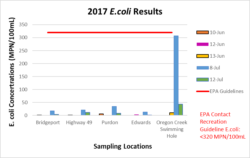
After 6 years of monitoring, the State Water Resources Control Board, led by SYRCL, completed a study of E. coli concentrations in the Yuba watershed in 2014. The produced report evaluates compliance with precision standards and data quality procedures for our on-going E. coli monitoring (see below for the full report). The presence of E. coli in the watershed could be perilous to the Yuba’s swimming holes, as the bacterium poses a threat to human health if ingested. SYRCL has continued to monitor popular swimming holes to ensure that our favorite spots are “Safe to Swim.” The results from 2017 (below), show that Bridgeport, Purdon Crossing, Edwards Crossing, Oregon Creek Swimming Hole, and Highway 49 Bridge all met EPA standards for recreational contact. However, please always remember that sanitation, such as picking up after your dog, is an easy and important step in maintaining our pristine water.
Nitrates in the Watershed
Two years ago, SYRCL and volunteers began testing for concentrations of nitrates at our water quality monitoring locations. Major threats for contamination of these nutrients include cannabis cultivation, septic leaks, and other development-based impacts. The fertilizing characteristic of nitrates increases the abundance of aquatic plants, ultimately altering the habitability of the stream for other organisms. Every month, volunteers collect samples which are tested for elevated levels of nitrates. All 2017 nitrate samplings fell below California’s Maximum Contaminant Level (MCL) of 45 mg/L.
Mercury Sampling
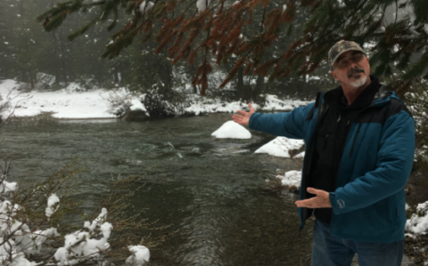
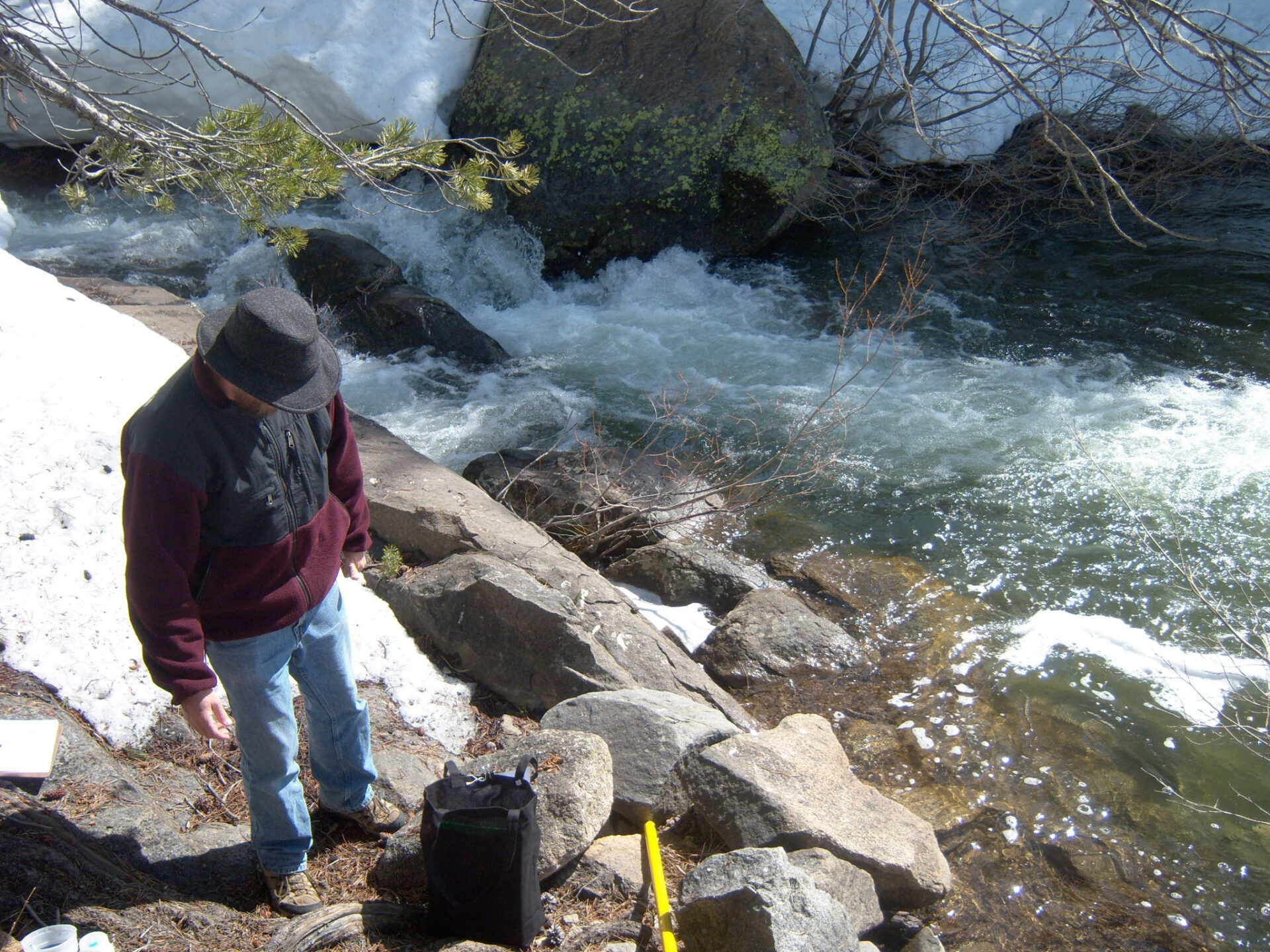
Nevada County was one of the most popular destinations for gold miners during the Gold Rush Era. Small mining operations quickly turned to large-scale hydraulic mining, which resulted in massive amounts of sediment getting washed downstream and altering the course of the river. During the winter months, SYRCL’s volunteers assisted in monitoring mine-impacted streams from the San Juan Ridge Mine, Relief Hill Mine, and Alpha and Omega Diggins. Our mine land monitoring consists of using a variety of hydrologic equipment and EPA Method 1669 Clean Hands/Dirty Hands technique for sampling trace metals and Total Suspended Solids (TSS). With this data, a relationship is built to determine the amount of mercury and sediment flowing down these streams throughout the season. A finalized hydrologic report of Spring and Shady Creek and a watershed assessment of Scotchman Creek will be available later this year.
Temperature Monitoring
This season SYRCL’s dedicated volunteers helped to deploy 21 temperature loggers throughout the entire watershed. The temperature loggers recorded water temperature hourly from June through November. As water temperature is a key component in the overall ecological health of an area, the loggers allow SYRCL to monitor for any shifting trends influencing the watershed. Temperature loggers are strategically placed above and below dams to monitor the impacts of dams, help assess the impact of climate change, find correlations between tributaries and downstream water bodies and to see whether current temperature conditions can support a diverse assemblage of fish. Our collected 2017 temperature logger data can be found at yubashed.org.
Upper South Yuba – Salt and Sand
Since 2013, SYRCL has annually collected salinity and turbidity samples along the Upper South Yuba River as it runs along Interstate 80. During winter months, when driving conditions are hazardous, the California Department of Transportation applies de-icers to curb ice buildup on the roads. Consequently, 11 miles of the South Yuba runs along the I-80 corridor and the impacts of de-icing material have been shown to decrease aquatic insect and fish biodiversity. In areas like Lake Tahoe, total maximum daily loads (TMDL) have been established by the state to reduce the amount of sediment that ends up in Lake Tahoe. We hope to establish similar parameters for the Upper South River.
What to Expect in the Coming Months
SYRCL’s next River Monitoring season begins in March 2018! If you are interested in becoming a River Monitor, please join us for the first training and orientation Thursday, March 22nd from 6:30pm – 8:00pm at the SYRCL office located at 313 Railroad Ave. in Nevada City. Our second part training will be an all-day event on April 7th from 9:00am – 3:30pm at the Bridgeport Crossing at the South Yuba River State Park, on Pleasant Valley Road.
River monitoring training is free and open to everyone!
Over the next few months, be on the lookout for our 2017 Quality Assurance Report which will be an assemblage of all our water quality data collected this year. Here at SYRCL, we are always looking to connect community members to their watershed. If you are interested in volunteering for any of our projects or would like to receive our e-news and see what we are up to each month, please contact Katie Nickels, our new River Monitoring Coordinator at katie@yubariver.org.
 |
 |
Did you enjoy this post?
Get new SYRCL articles delivered to your inbox by subscribing to our ENews.