Aspen on the Landscape
When you think of aspens, what comes to mind? Perhaps you think of vast golden canopied stands in Colorado, Idaho, or Utah, home to the largest aspen clone observed on Earth. The North American species of aspen, present in high elevations of Canada, the United States, and Mexico, is Populus tremuloides, commonly called quaking aspen for its iconic shaking leaves. Here on the western slope of the Sierra Nevada, quaking aspen exists as a minor element of the forest in terms of acreage, making up only 1% of the forest. Within the Yuba River watershed, aspen trees are mostly found within the headwaters. However, aspen trees provide an outsized role in terms of landscape resilience, biodiversity, and human enrichment. By looking to the aspen stands in the Yuba River watershed and where they are present, we can learn more about our home watershed’s natural history.
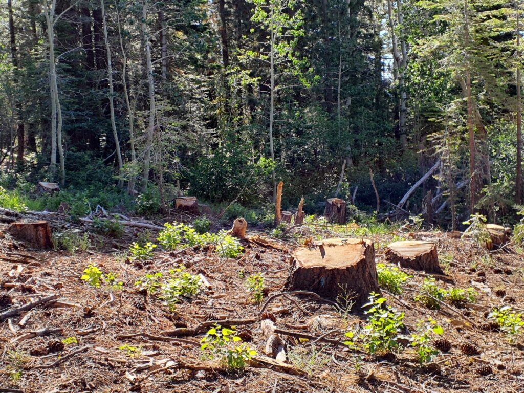
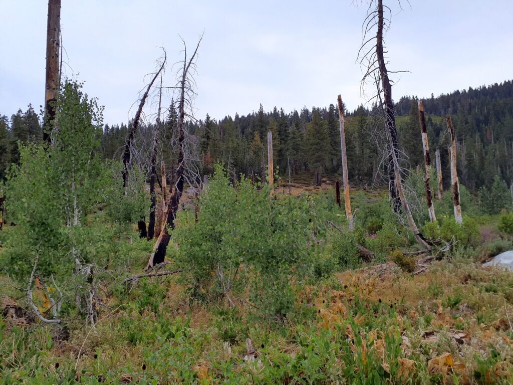
Quaking aspen is referred to as a pioneer or early successional species, meaning the tree will be one of the first species to establish on a site after a disturbance. Windstorms, fire, even harvesting, and any other type of event that creates an open canopy for sunlight to hit the forest floor stimulate aspen trees to sprout. With this in mind, we can look to characteristics of the land to understand why aspen might exist where it does.
It Starts in the Soil
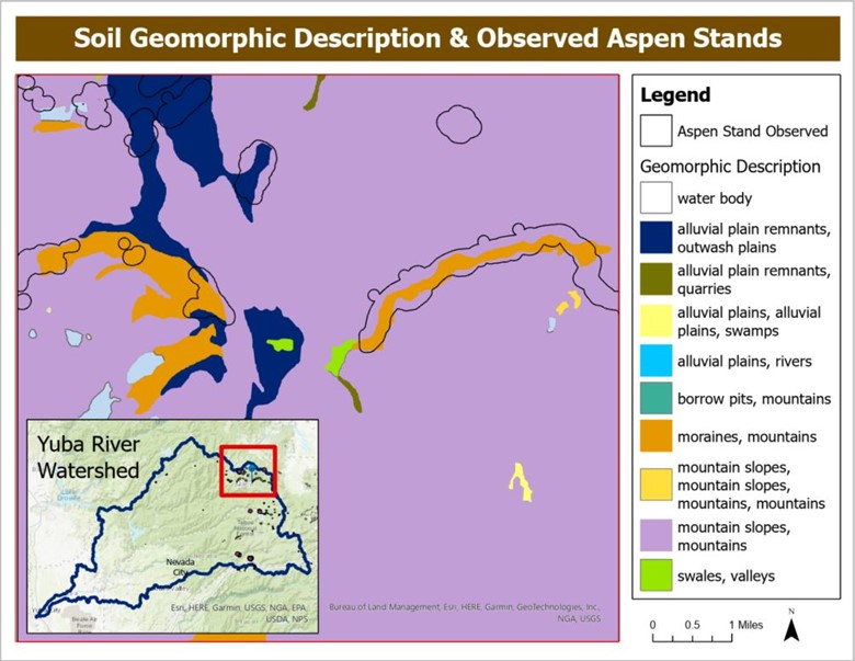
The map below shows observed aspen habitat in the Yuba River watershed, compared to the geomorphic description of the soil type, delineated by USGS. The geomorphic description categorizes the soil by the dominant process of origin or geomorphic setting. In the map, the orange color depicts soil created by moraines, which is a mass of sediment deposited by a glacier. You can see that aspen habitat is observed following moraines in some areas. The significant disturbance on the landscape from glaciers moving created habitat for aspen to colonize many years ago.
While in some cases, soil can predict where aspen might occur today, it is not the only factor in determining suitable aspen habitat. Quaking aspen within the Yuba River watershed typically will be found above 5000 feet in elevation, close to a water source (edges of rivers, lakes, seasonal creeks, wet meadows, etc.), and in plenty of sunlight.
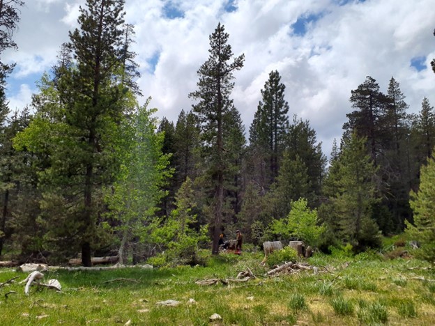
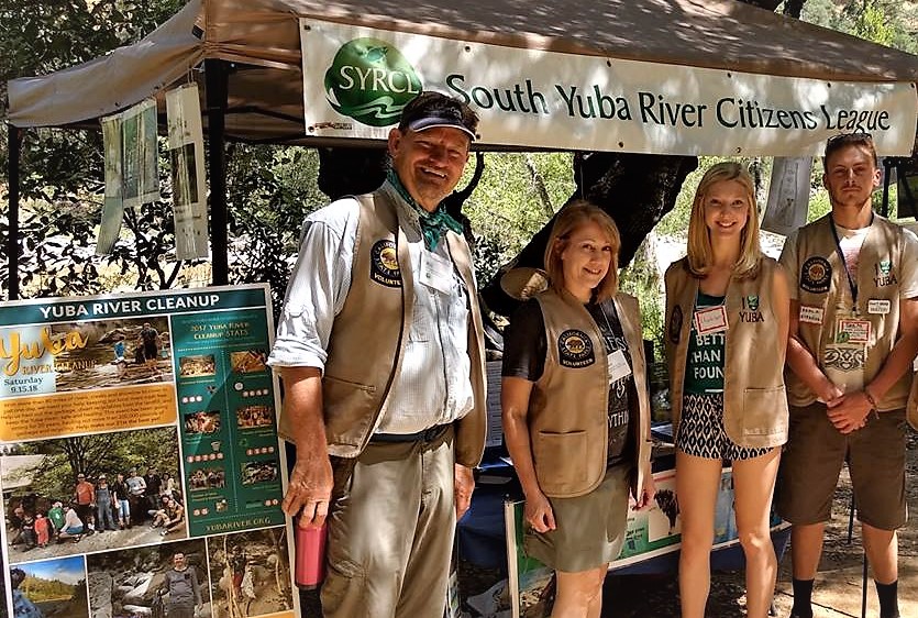
Since 2011, SYRCL has partnered with the Tahoe National Forest to work with volunteers and remove encroaching conifers from aspen tree patches that were struggling for light. These efforts are ongoing and projects to monitor success and continue to remove conifers are active at Rucker Lake, Pierce Wetlands, Loney Meadows, and Butcher Ranch. To learn more about SYRCL’s Aspen Regeneration Projects, click HERE
Did you enjoy this post?
Get new SYRCL articles delivered to your inbox by subscribing to our ENews.


