Understanding Current Fire Bans
Earlier this year on May 1, the California Department of Forestry and Fire Protection (CAL FIRE) began requiring burn permits for residential vegetative material pile burning within Nevada, Yuba, and Placer Counties. This meant that people needed both a burn permit and to burn on a permissive burn day as determined by the Northern Sierra Air Quality Management District.
Later that month, CAL FIRE suspended all burn permits for outdoor residential burning and banned all residential outdoor burning of landscape debris such as branches and leaves starting May 28 in the same areas. These measures were put into place in response to fire danger posed by high volumes of dead grass, low soil moisture, and dry conditions.
The South Yuba River Corridor Burn Prohibitions
Nevada County BOS also enacted the South Yuba River Corridor Burn Prohibitions. This prohibition became effective the Friday preceding Memorial Day Weekend at 8 a.m. and will stay in effect until the end of fire season as declared by CAL FIRE.
This South Yuba River Corridor Burn prohibition extends to “every firm, person or corporation.” According to the code, “any and all outdoor burning on private property within the portion of the South Yuba River corridor that covers the lower 39-mile stretch of the South Yuba River from Lang Crossing to its confluence with Kentucky Creek below Bridgeport in Nevada County within a quarter mile from the ordinary high water mark on each side of the river (1,320 feet) is prohibited.”
What does the summer season look like?
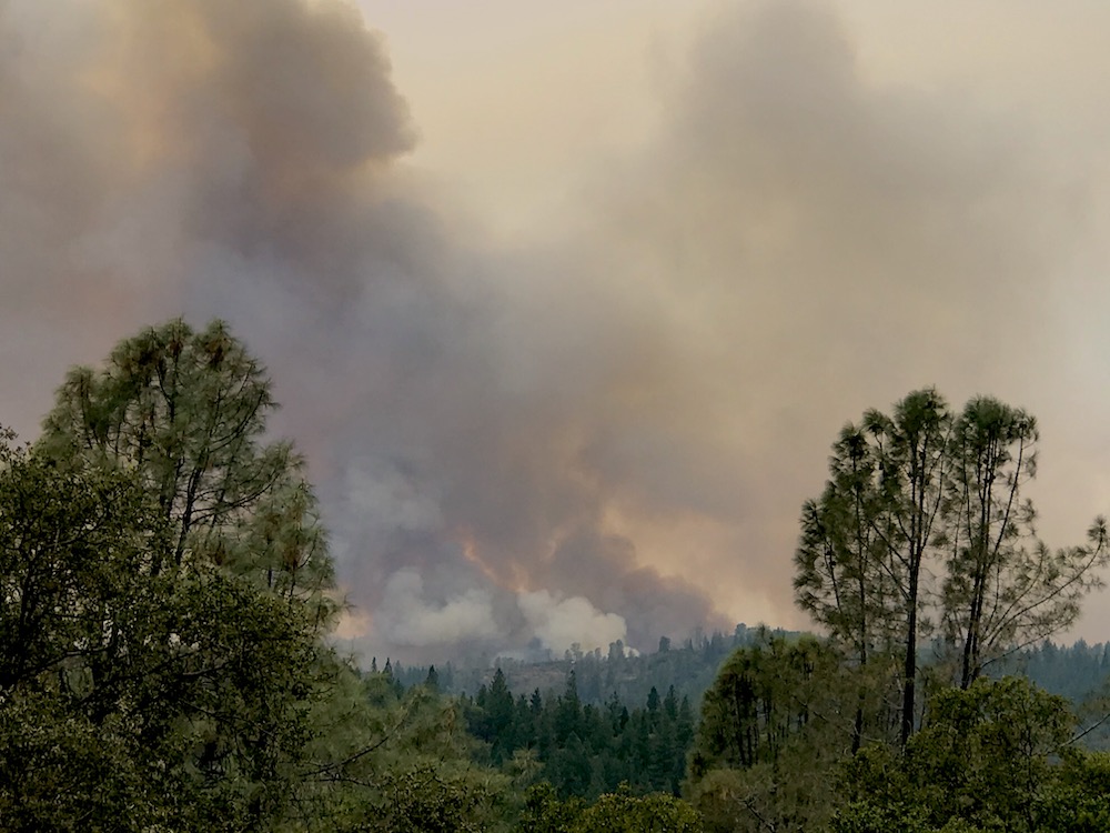
Following these ordinances and encouraging others to do the same is of the utmost importance, especially given that weather predictions for our region show little signs of relief. North Ops Predictive Services are forecasting drier and warmer than average weather through September.
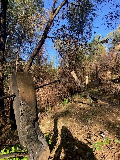
Areas above 3,000 feet in elevation are particularly at risk as drought contributes to increased tree mortality, creating more fuel for the fires. Drought conditions, which have been intensifying since late March, have also led to increased flammability of brush crop as the outer branches and twigs of plants die due to lack of water.
Want to help and learn more?
If you want to help learn how to talk to people about the
fire ban and spread the message to our visitors, you can become a River Ambassador for a day (or more) by signing up here.
Interested in learning more and hearing from the experts? We recommend checking out this webinar featuring Nevada County Fire Chiefs, the Office of Emergency Services, and partners that was hosted by YubaNet on May 28 of this year.
To stay up to date, you can also follow CAL FIRE on Twitter.
Did you enjoy this post?
Get new SYRCL articles delivered to your inbox by subscribing to our ENews.
