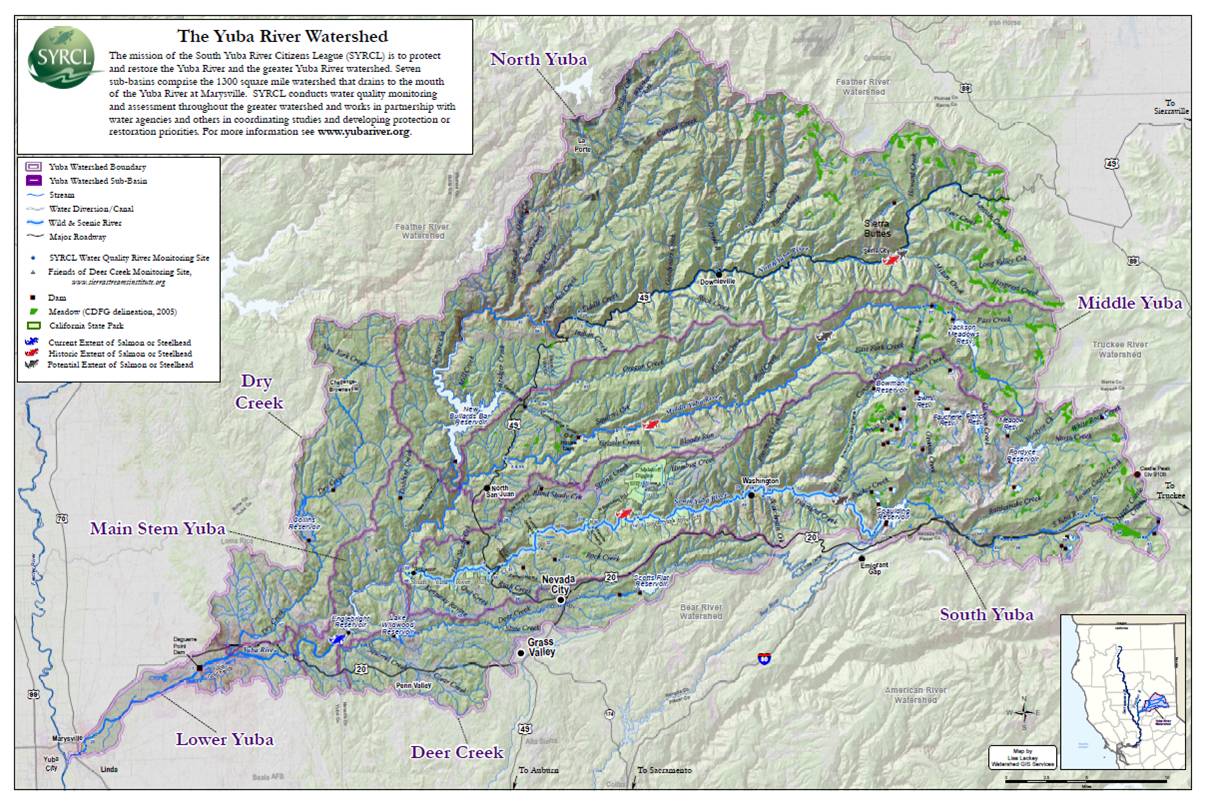
The Yuba River Watershed Map is Now Available
Now available at our office, the highly informative and educational Yuba Watershed Map. This poster sized (3’x2′) map is coated for durability and perfect for posting in the office or classroom. The map includes riches of information, including boundaries of state parks, national forest and counties, reservoirs, dams, diversions, meadows, and even the current and historical upstream extent of salmon and steelhead. The map involves artistic cartography while showing the location of key landmarks in the watershed and water quality monitoring stations maintained by SYRCL and Friends of Deer Creek (Sierra Streams Institute). Much appreciation to Lisa Lackey, GIS (Geographic Information System) Specialist, for creating this wonderful map. Come get your copy for a donation of $25 or more. Get another copy for an educator too. Proceeds support SYRCL’s watershed assessment and restoration work.
Did you enjoy this post?
Get new SYRCL articles delivered to your inbox by subscribing to our ENews.

How do i purchase a map please?
Dianne