Lower Long Bar Restoration Project
Partners: U.S. Fish and Wildlife Service, South Yuba River Citizens League, cbec eco engineering, Cramer Fish Sciences, SRI Supreme, Patterson Taber General Engineering, Inc.
Funders: U.S. Fish and Wildlife, Yuba Water Agency
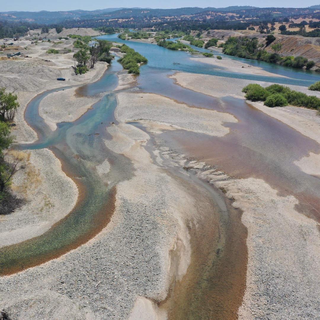
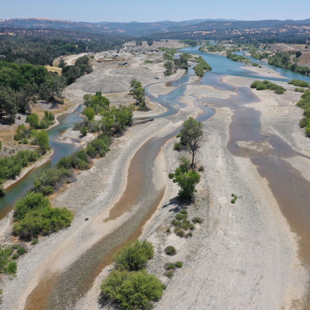
Background: The impact of past gold mining efforts is glaring on the Lower Yuba River. Though the economic prosperity from the Gold Rush led to the rise of modern California, it came at a price. Billions of tons of gravel from hydraulic mining were washed into the Yuba River, altering the riverbed and impacting native fish populations. Hydraulic mining was eventually made illegal in 1884 and now, in 2022, it is the mining industry, through an unlikely partnership, that is part of the solution to the problems created by its past.
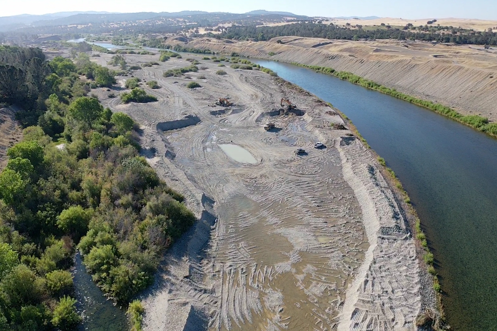
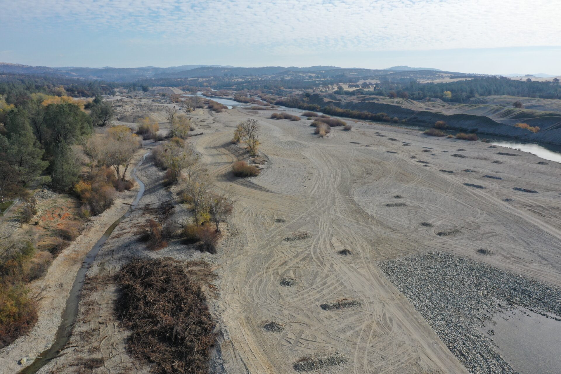
In 2016, the South Yuba River Citizens League (SYRCL) applied for and received a $3.2 million grant in order to begin restoration on 42 acres of the part of the lower Yuba River known as Long Bar. The majority of the restoration process will consist of removing approximately 350,000 yards of hydraulic mining debris in order to restore optimal rearing conditions for spring- and fall- run Chinook and Central Valley Steelhead. Because the floodplain is so far above the water, by removing this gravel we are bringing the floodplain down to where the water is and then planting along the riverbanks in order to jumpstart the food web.
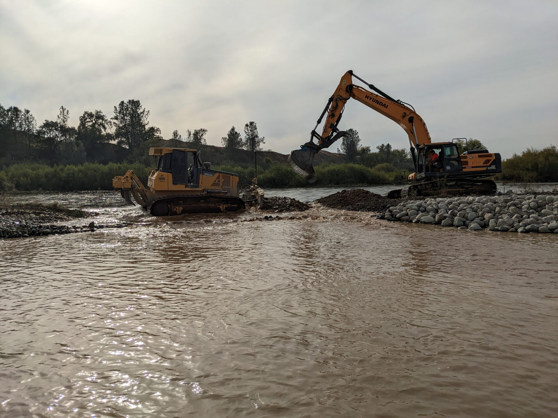
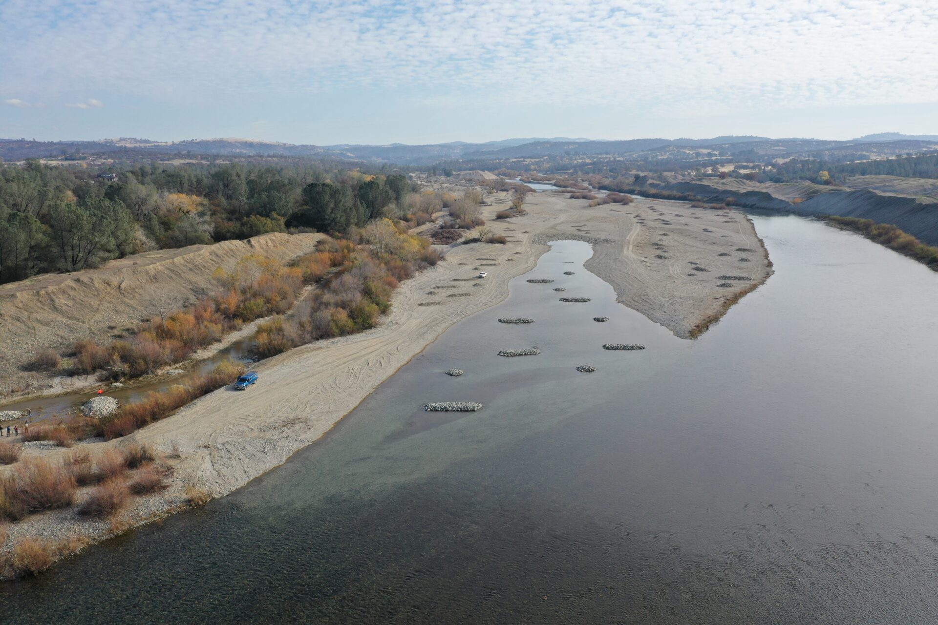
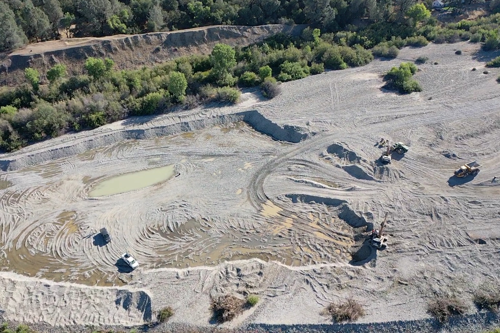
Construction at Lower Long Bar is beginning on the downstream (left) side of the project footprint and working upstream (right). The first step is to “rough grade” features which means removing the bulk of the material so that the floodplain elevation is close to what we want. Once that’s done, we will go back and put the finishing touches on each habitat feature moving downstream to upstream (left to right on the map). This approach means we shouldn’t have to take any heavy equipment back over a habitat feature which is already done.
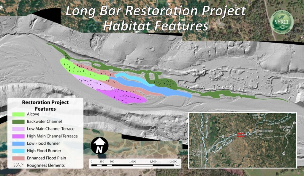
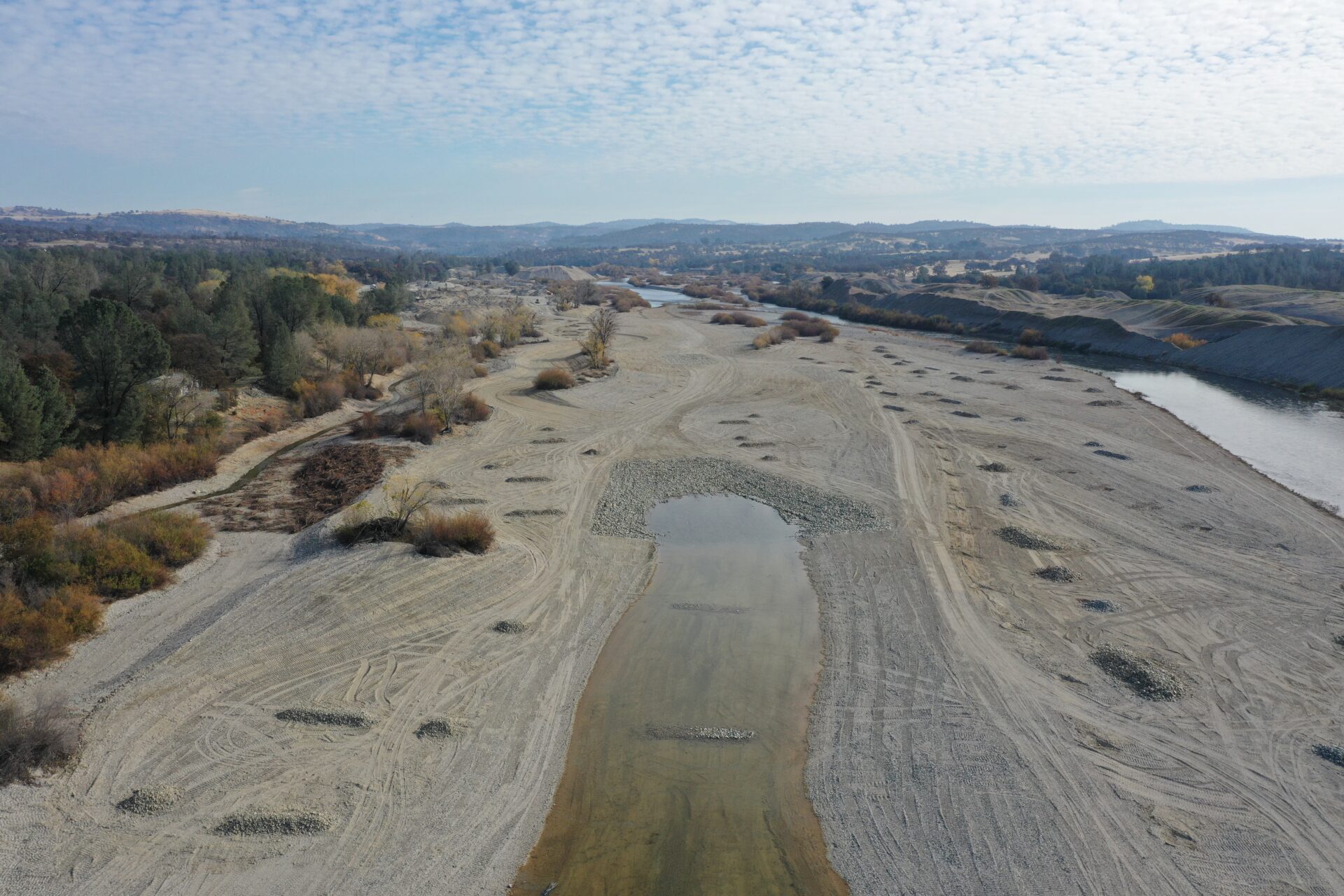
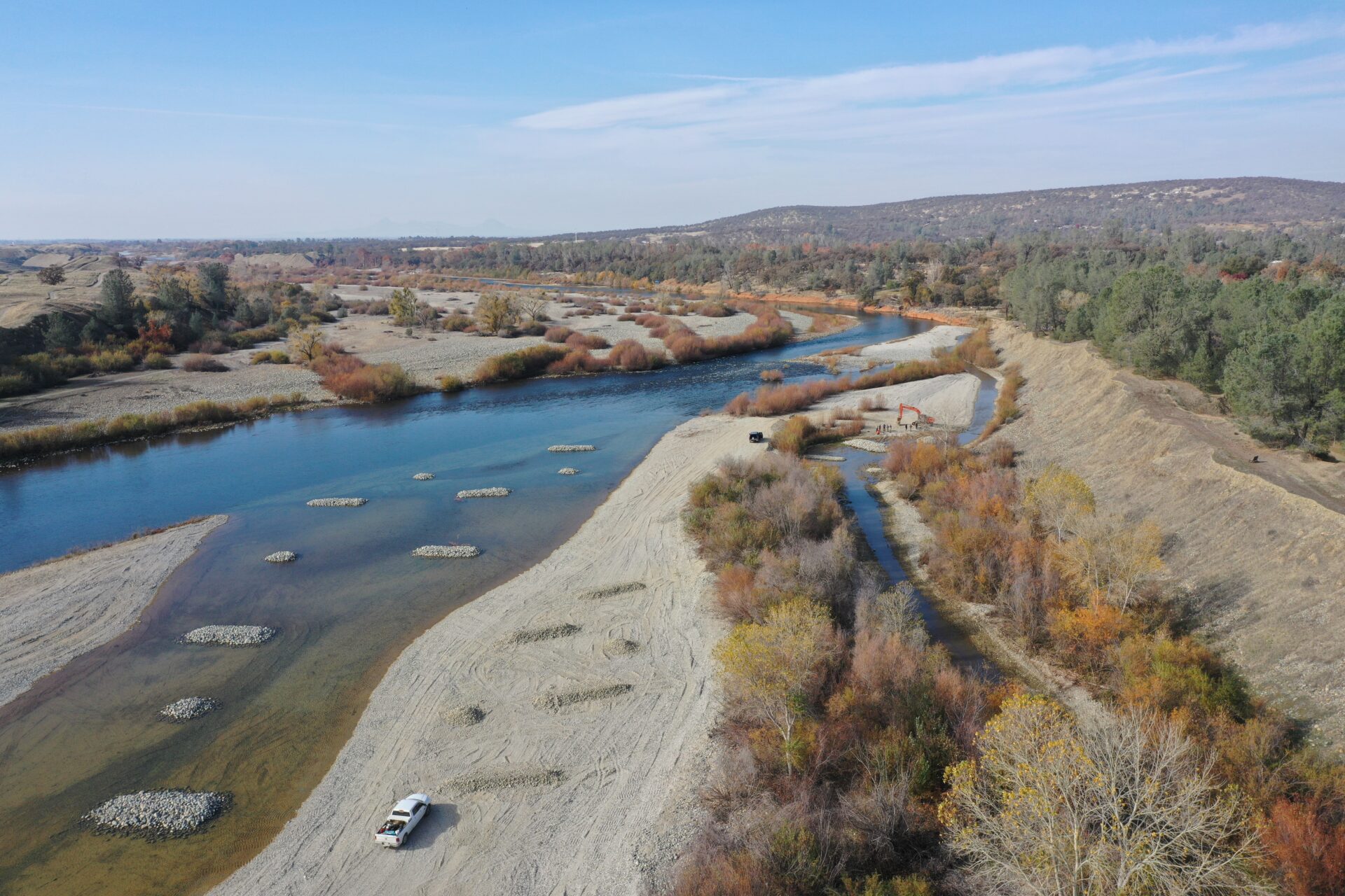
- Alcove: This off channel habitat will stay underwater year-round and provides additional rearing habitat and high food production.
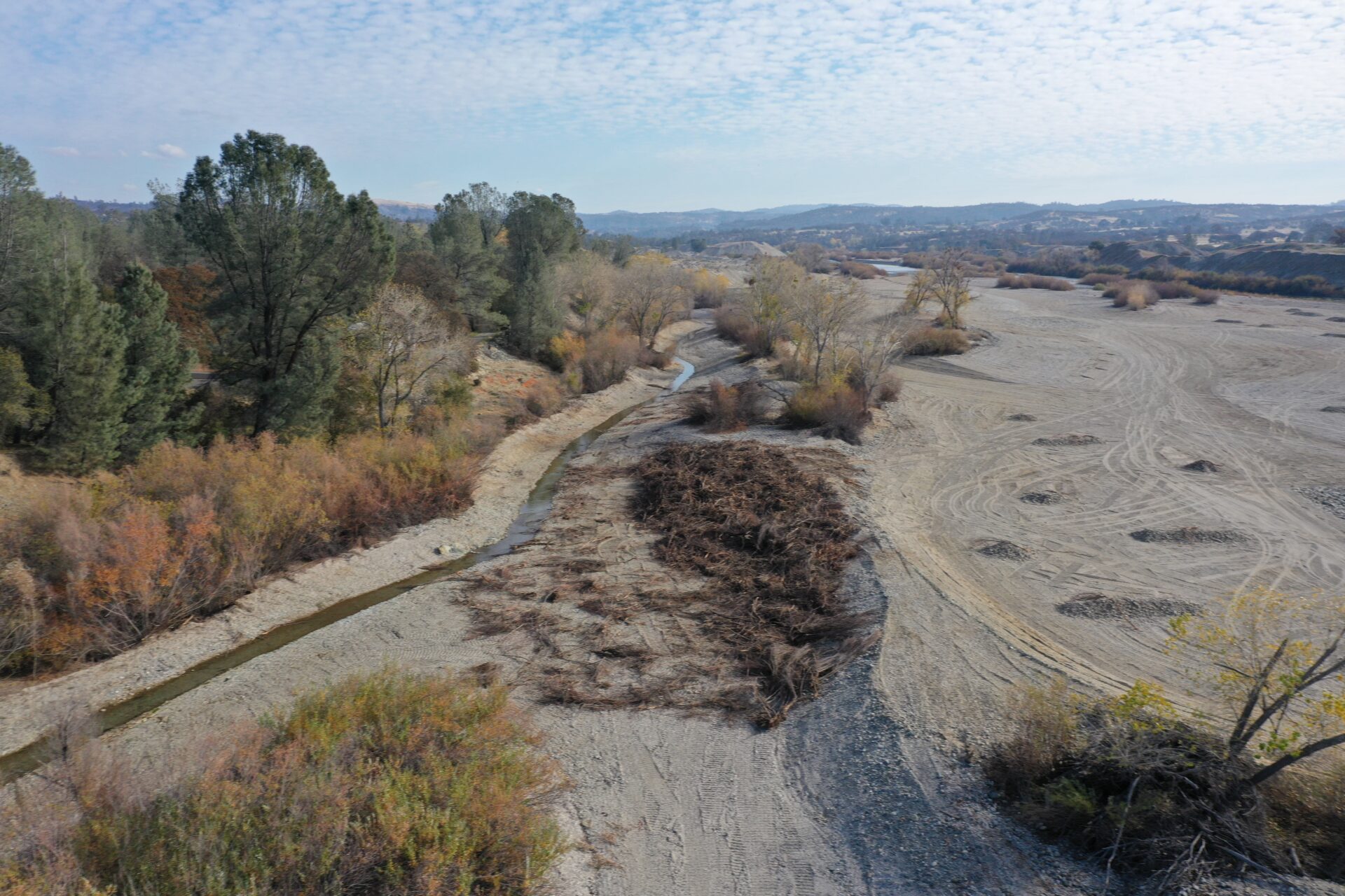
- Backwater Channel: This maximizes the benefit of existing vegetation by putting a channel through the existing dense vegetation. This creates the opportunity for much higher food production and food availability as soon as the project is completed. During high water, this channel will also offer a place for juveniles to rest from the swift current.
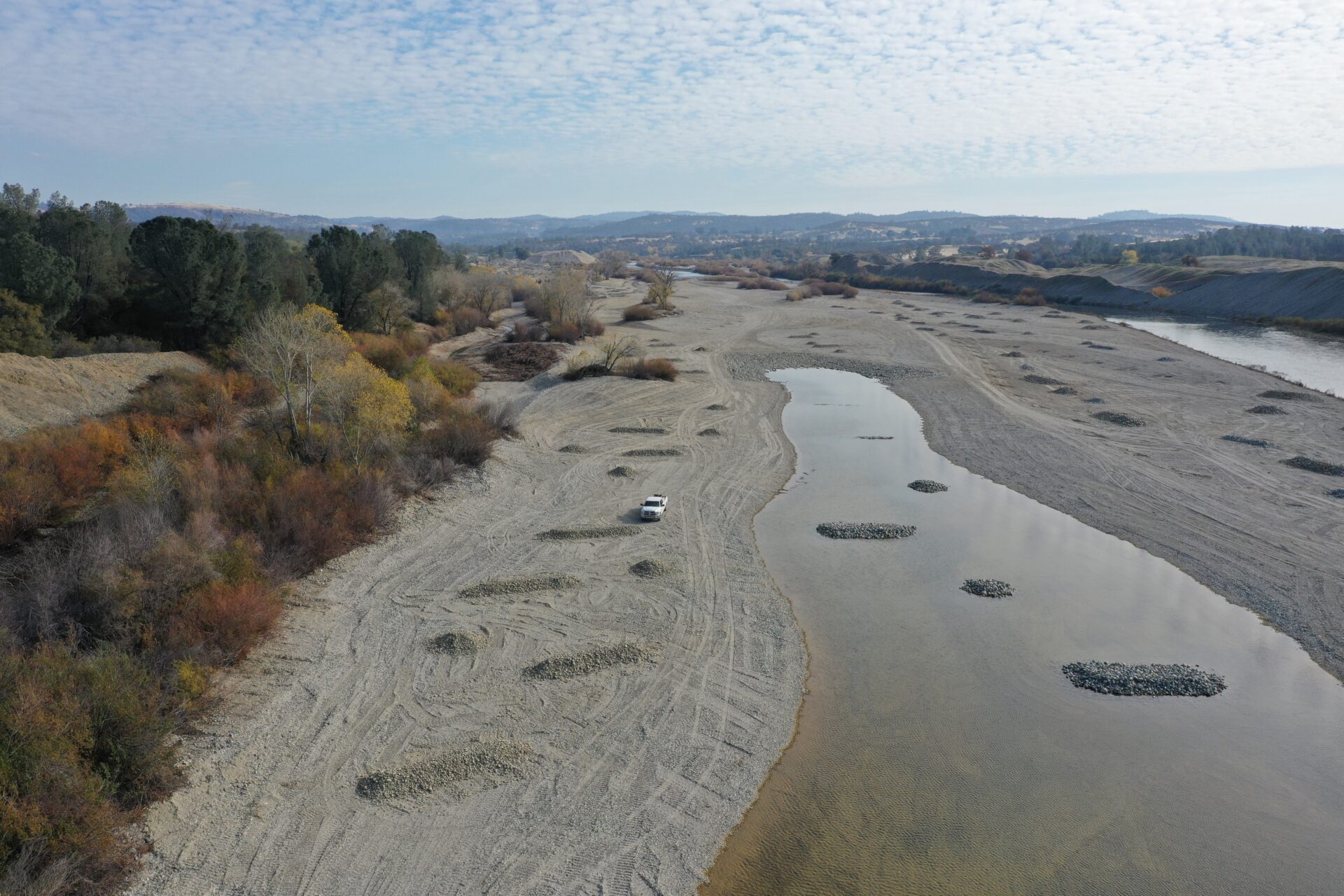
- Main Channel Terraces: As the flow approaches about 2,000 cfs, the alcove channel starts to get deep. These terraces become submerged providing refugia from high flows in the main channel and creates a space for additional food production.
- Flood Runner Channel: This channel also starts to have water flowing across it as flows approach 2,000 cfs. This adds some water to the Alcove feature so that water begins to flow through this feature. As flows continue to rise towards 3,500 cfs and above, this feature also begins to capture water from the Backwater Channel. This helps decrease the velocities in the backwater channel so that it remains high quality habitat.
- Enhanced Floodplain: As flows approach and exceed 7,500 cfs, we really begin to spread the water out across this additional floodplain area. This helps keep depths and velocities across all of the project feature low so that the juvenile salmon don’t have to work as hard to stay in place while they take advantage of the additional food availability created by the project.
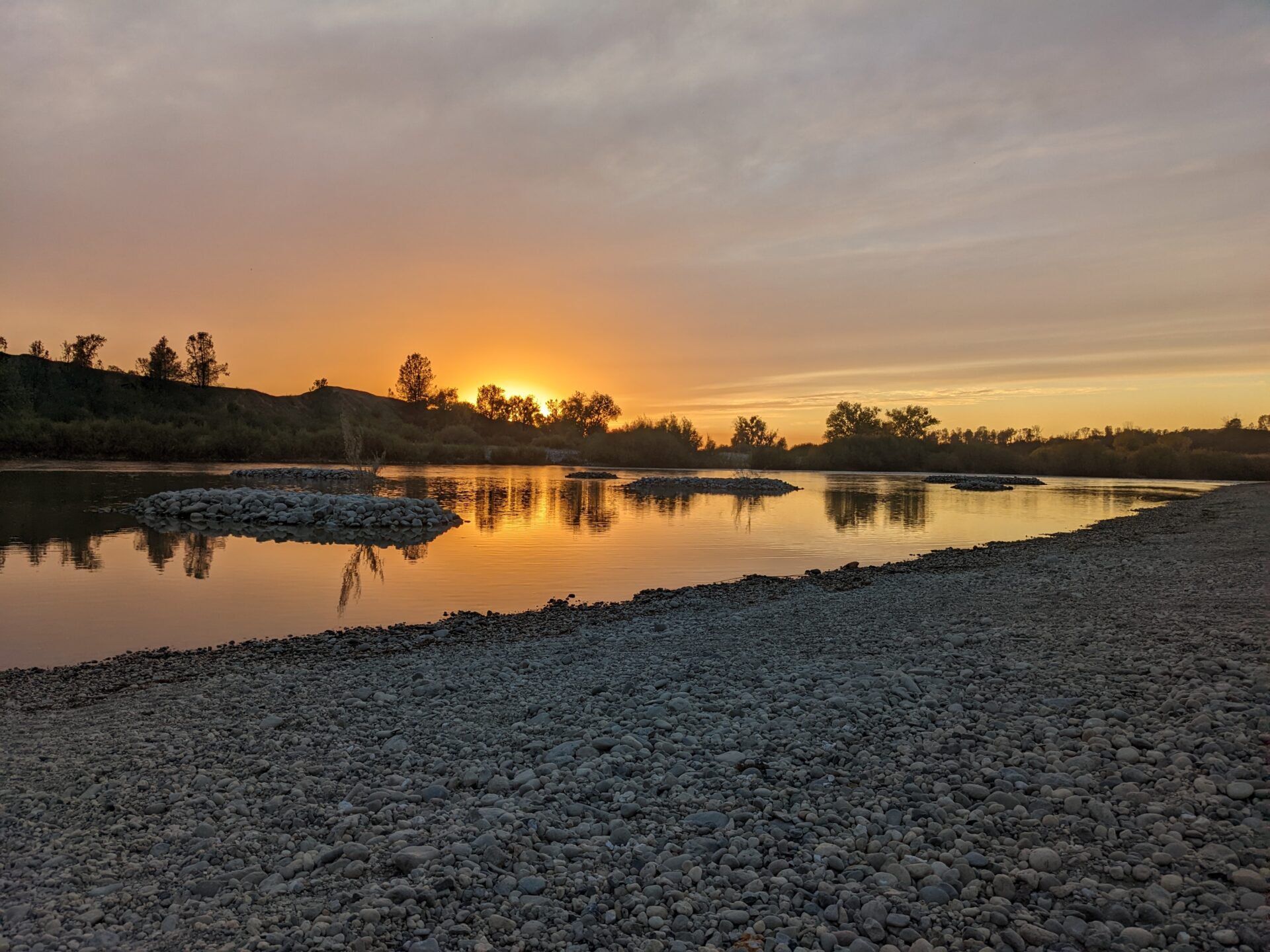
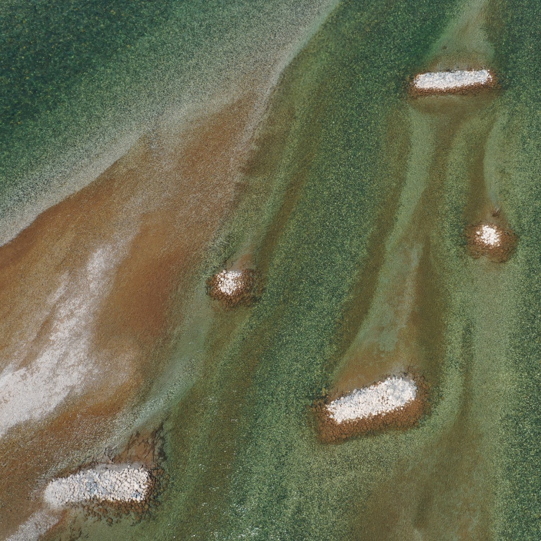
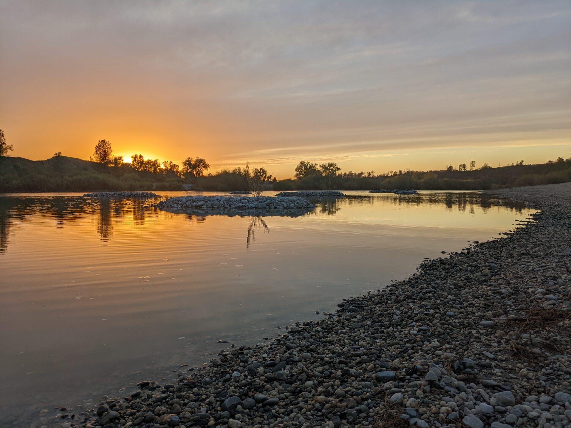
- Roughness Features: the small, round ‘tic-tac’ features throughout the alcove and channel terrace features are piles of cobble. As the entire project area becomes inundated beginning at 7,500 cfs all the way up to the maximum computer modeled flow of 70,000 cfs, the area downstream of these features will have low velocities where juveniles can hide from the high velocities in the main channel and across the project. These features will also trap fine sediment which will help more willows and other vegetation take hold – a process we were able to successfully demonstrate at our Hammon Bar restoration project.
Project Landmarks
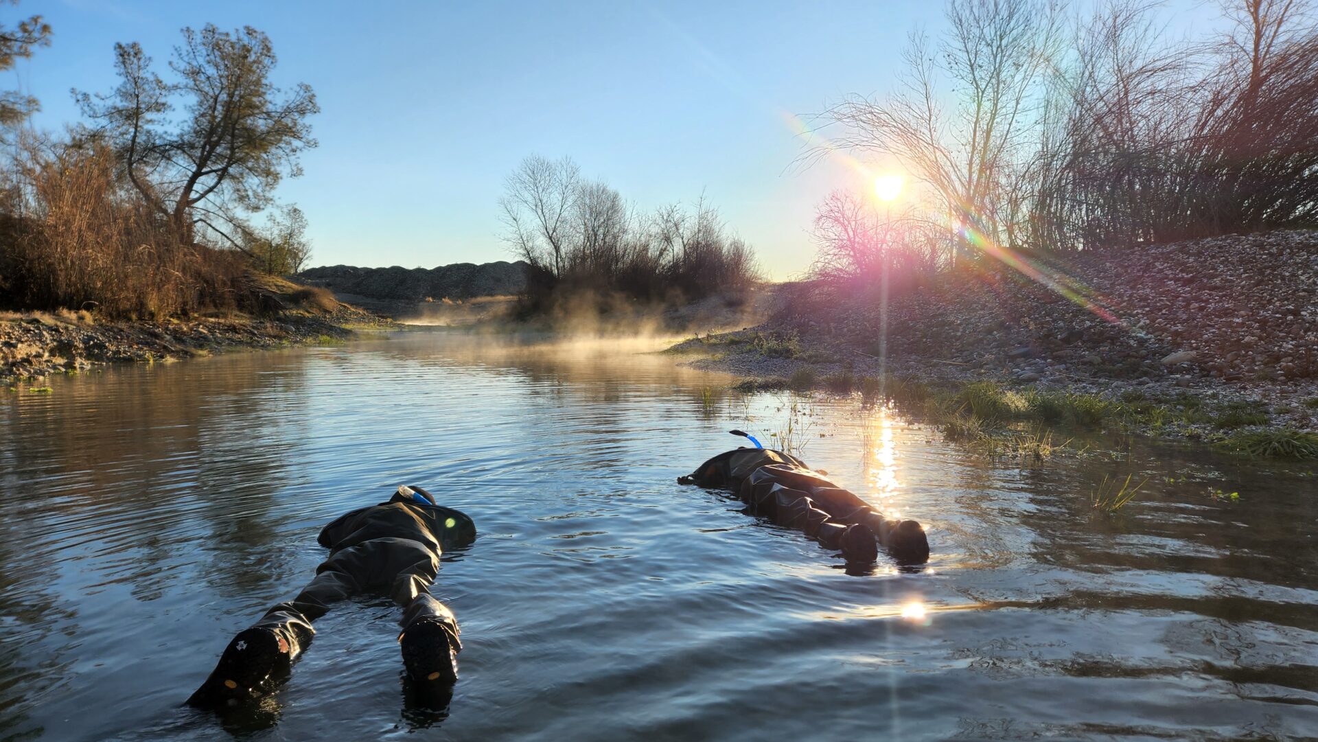
Continued Post Project Monitoring
Up Next
Cramer Fish Sciences is conducting snorkel surveys..
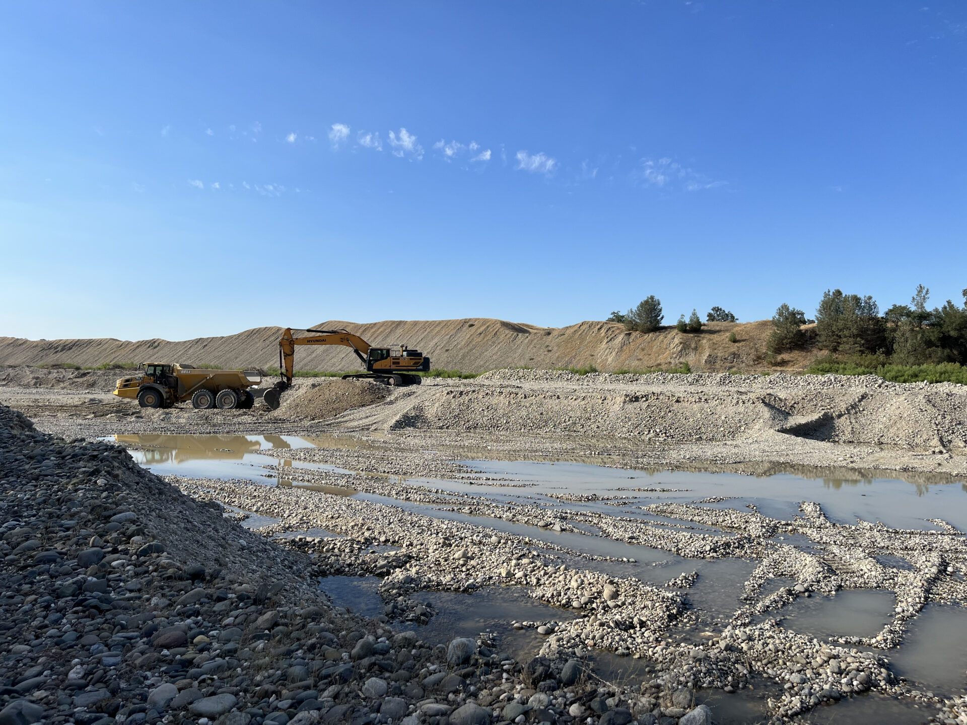
Side Channel construction begins
July 19, 2022
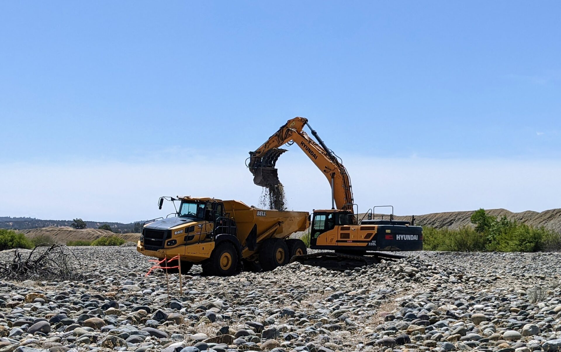
Construction kicks off
June 22, 2022
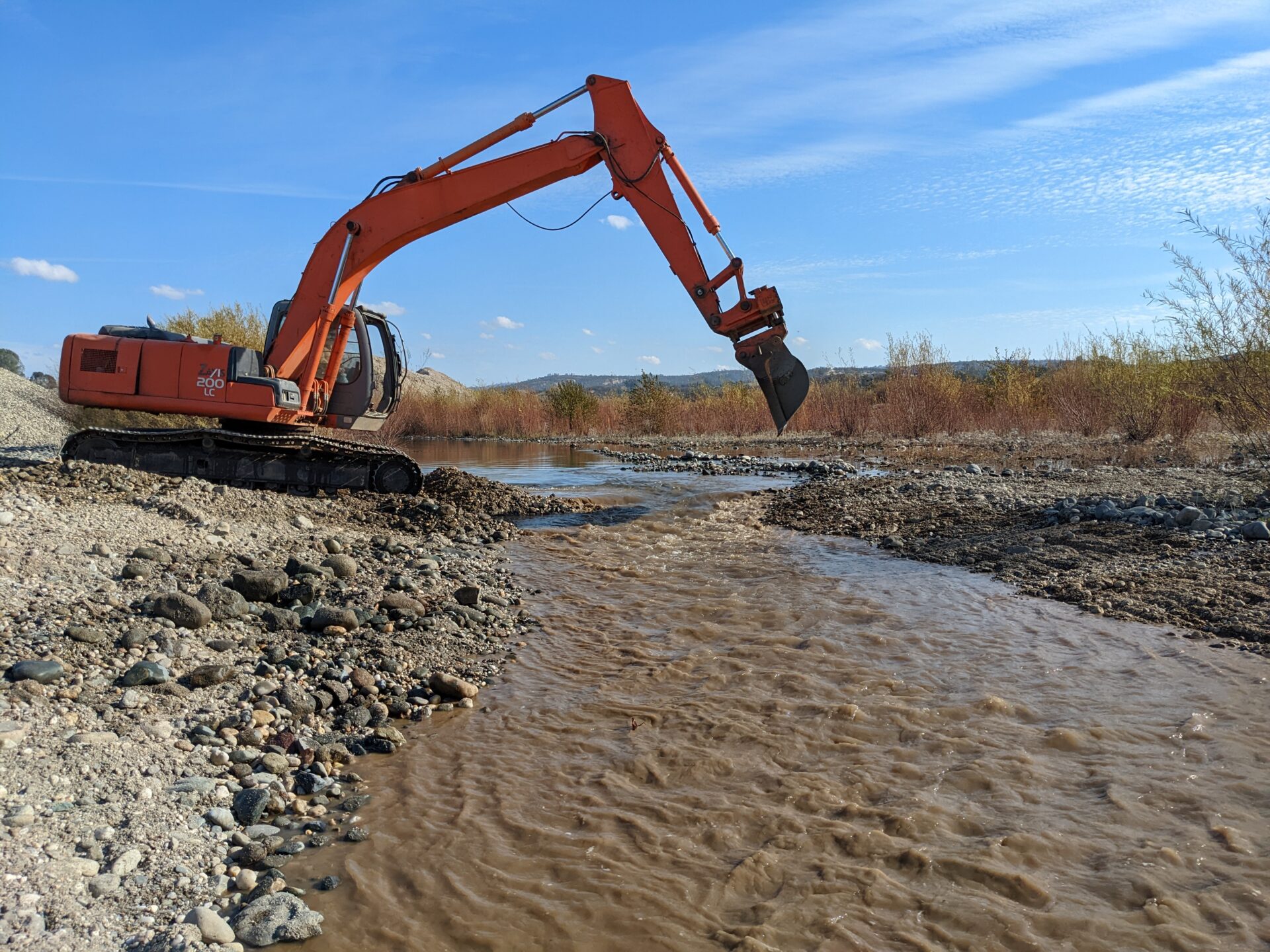
Currently, heavy equipment is actively removing sediment from the gravel bar to bring it down where it can function similar to how it did prior to the Gold Rush

