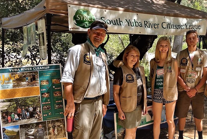
Protect the Yuba River Canyon from Wildfires
 In September 2018, a burn ban was implemented by the Board of Supervisors prohibiting outdoor burning on private property in the South Yuba River Wild and Scenic corridor during CAL FIRE’s declared fire season. This ordinance has been amended over the years in response to changing needs and concerns. This original ban was set to expire following the end of the 2021 fire season. On April 12 of this year, the Board voted to extend the ban and remove the sunset clause, which allows the private property burn ban to exist in perpetuity (or until the Board either amends or appeals it).
The current iteration of the ordinance bans the burning of open flame on private property located within a quarter mile of the ordinary high-water mark on either side of the river (about 1,320 feet). This protected area extends from Lang Crossing down to the convergence of the South Yuba River with Kentucky Creek, below Bridgeport. In addition, open campfires on public lands are not allowed anywhere within the corridor year round. In designated camping areas, fires are permitted only in agency-provided pedestal grills and permanent fire rings.
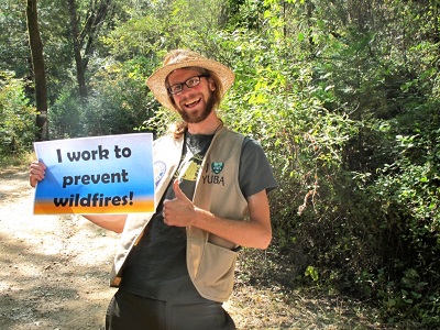
Despite this, we continue to find evidence of human-made fires along the banks of the river. Each year our River Ambassadors stop people carrying BBQs down to the river and inform them of the “why” behind the rules. Though River Ambassadors do their best, River Cleanup volunteers find both fire rings and BBQs along the river during our annual Cleanup in September.
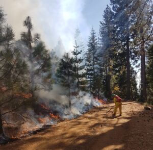
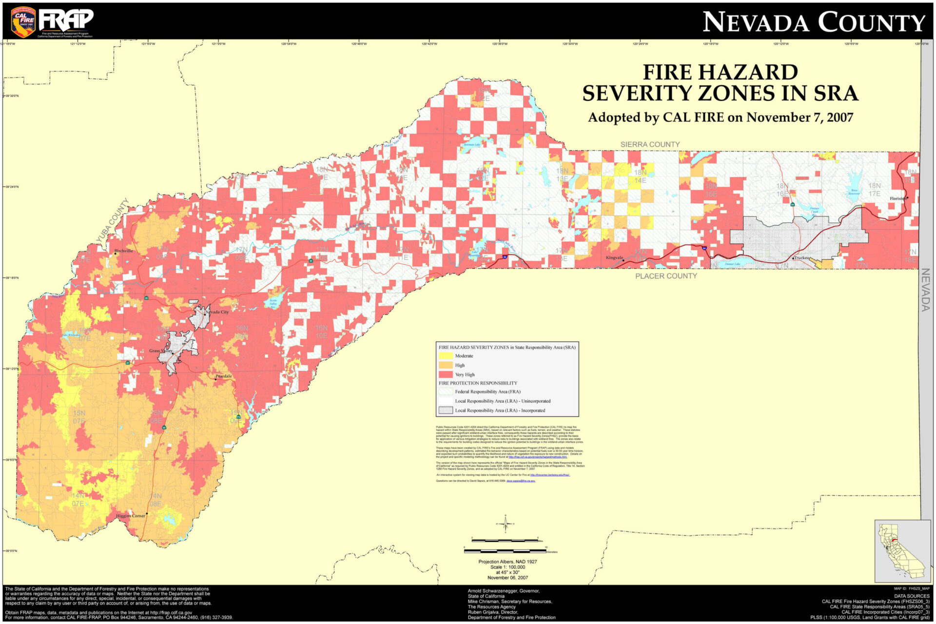 These findings are troubling given what we know about wildfires. Namely, that 95% of wildfires are caused by human activity, including campfires, BBQs, and parking on dry grass. Given that nearly all of Nevada County is rated as a High or Very High Risk Zone for wildfire, fire safety should be a priority for all those who either reside in or are visiting Nevada County. The high-intensity wildfires that are occurring more frequently in California are exceptionally devastating, as many of us know. They put communities, wildlife, cultural resources, and water supplies at risk. And the windy two-lane roads that surround much of the South Yuba River corridor make evacuation in an emergency perilous. Importantly, the available evacuation routes in relation to the population is worse than many other rural areas, including Paradise, which saw close to 319,000 acres and 19,000 structures burn in 2018.
This year’s lack of precipitation has already led to multiple red flag warnings in our area as well as the surrounding areas. This has led to the Nevada County Consolidated Fire District making a change to their burn permit policy. As of April 18, “the California Department of Forestry and Fire Protection (CAL FIRE) Nevada-Yuba-Placer Unit (NEU) will require burn permits for residential burning within Nevada, Yuba, and Placer Counties.
Officials are particularly concerned about fires in and around the South Yuba River corridor due to the remote location and limited cellular communication available. Both of these factors could result in a small fire growing to become a significant and devastating incident.
Now is a great time to remind ourselves the importance of 1) making certain you are signed up for CodeRED emergency fire alerts in your area, 2) knowing your zone code (this program combines regional data with sophisticated simulations to create zones that will be more useful in emergency evacuation situations) and 3) having multiple emergency evacuation routes planned. If a fire is headed your way, where will you go to find safety? How will you get there?
What is SYRCL doing in response to wildfire?
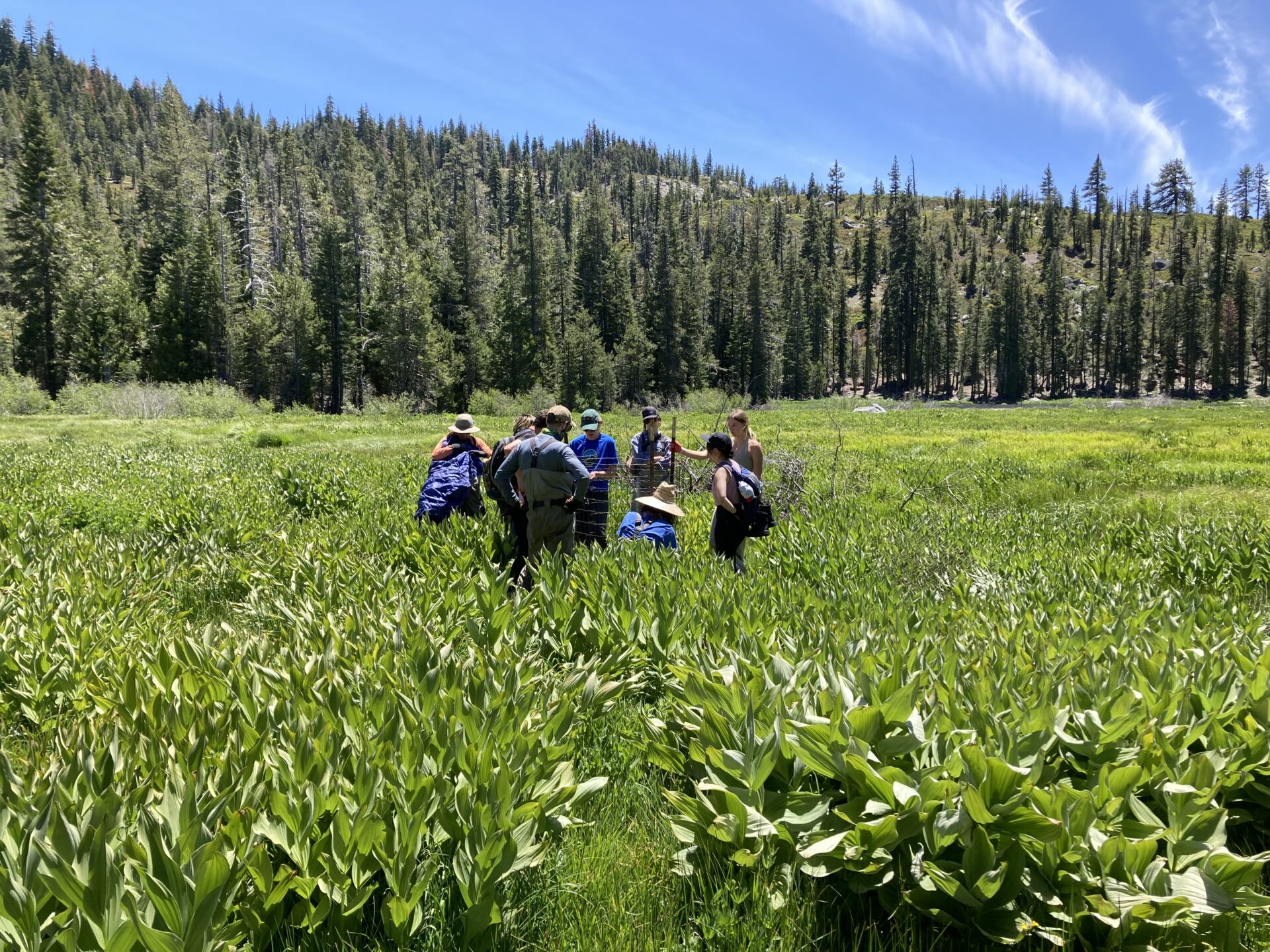
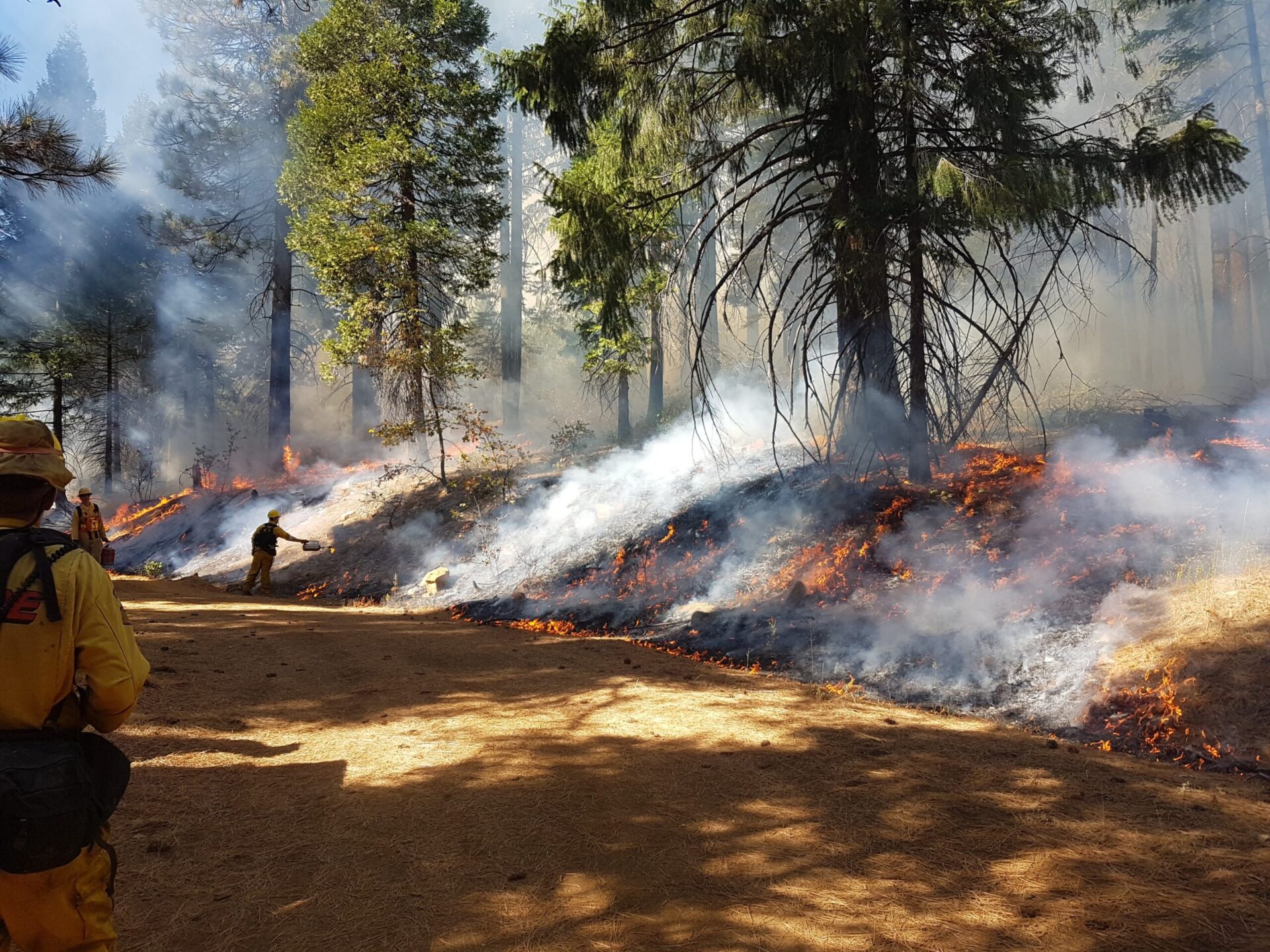
In 2018, SYRCL became one of the nine founding members of the North Yuba Forest Partnership (NYFP). This innovative and diverse partnership, which is comprised of other local organizations like the Nevada City Rancheria as well as regional and national organizations, including the US Forest Service and The Nature Conservancy, is working on one of the most ambitious plans to date to restore 275,000 acres of forest in the watershed. Doing so will create more resilient forest and protect communities, cultural artifacts, and threatened species.
The NYFP’s approach is unique because it is working on an unprecedented scale while also taking into consideration site-specific characteristics, including the inherent topographic features of the landscape. We are leaning on local traditional ecological knowledge (TEK) that demonstrates the benefits of low-to-moderate intensity fire in many conifer forests of the Sierra Nevada. Ecologically-based forest management, together with shaded fuel breaks, defensible space, land use planning, and other measures, can help protect communities from the impacts of high-severity wildfire.
If you would like to learn more about this project and vision, visit www.yubaforest.org.
Did you enjoy this post?
Get new SYRCL articles delivered to your inbox by subscribing to our ENews.